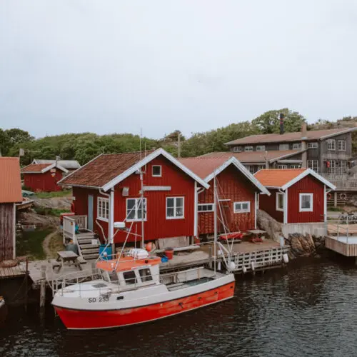
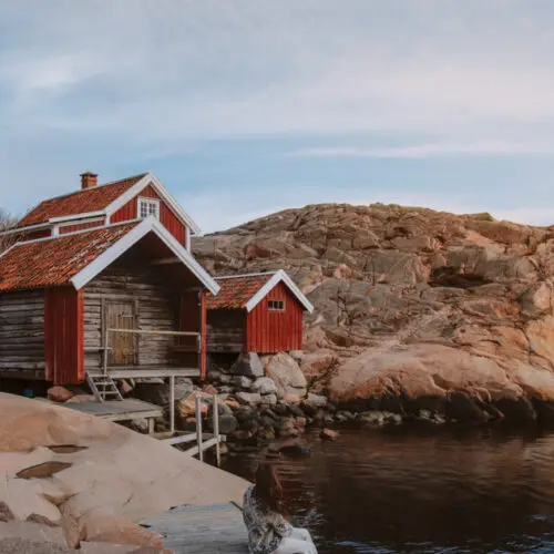
Gothenburg is the perfect city for anyone who loves hiking, with so many different trails in close proximity to the city centre. In this guide, I’ll take you through some of the best hiking trails near Gothenburg. They are a mix of forest paths and coastal tracks, all accessible by public transport!
So, without further ado, here are the best Gothenburg hikes!
Please note that this post contains affiliate links meaning that if you make a purchase through the link, I receive a small commission at no additional cost to you. I make sure to only ever promote products and brands I have used and like, and that all links are to trusted websites.
Longer hiking trails near Gothenburg
There are a few major marked hiking trails that head through Gothenburg. These are the Bohuseleden, the Gotaleden, the Pilgrimsleden, and the Skärgårdsleden which is part of the Kuststigen. These walks are all perfect for both a short, day trip hike close to Gothenburg, and if you wanted to do a longer multi-day hike. Below I have outlined the different sections of the hikes closest to Gothenburg. If you want to find the whole route and more information about each section, you can find it here.
Bohusleden
The Bohusleden is one of the longest hikes in West Sweden. A total of 350km and 27 sections, the trails starts in Älvsåker, just north of kungsbacka, and ends in Strömstad. Close to Gothenburg, there is the option to hike around 7 different sections as day trips. You can find more information about the Bohusleden here, and below I will outline some of the sections better for hiking near Gothenburg.
Section 3: Skatås to Kåsjön
This section of the bohusleden is slightly shorter (10km) and takes around 3 – 4 hours to complete. It starts at Skatås and follows a relatively simple trail to Lake Kåsjön. There are a few lovely viewpoints along the route and most of the trail is through forest land. You can reach Skatås by bus and tram and then take the bus back from Kåsjön.
Section 5: Jonsered to Angereds kyrka
This section of the Bohusleden runs from Jonsered to Angereds Kyrka. This is a more difficult section of the hike, with most of the trail running through woodland. The hike is 12 km and takes around 5 hours to complete. You can take the train from Gothenburg Central Station to Jonsered and then the tram from Angered back to Gothenburg following your hiking trip.
Section 6: Angereds kyrka to Fontin
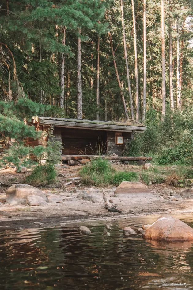
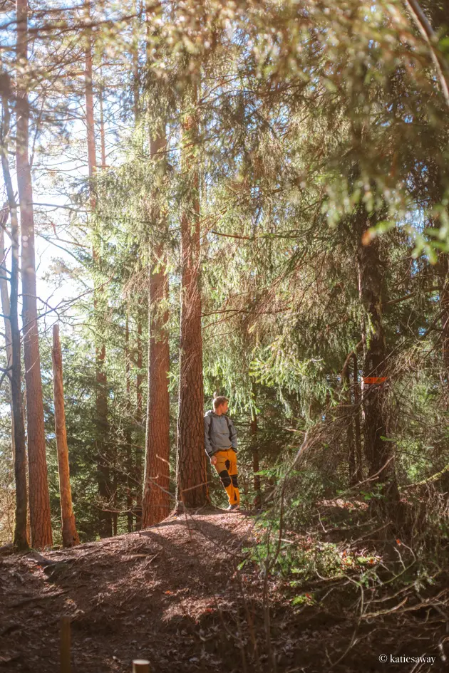
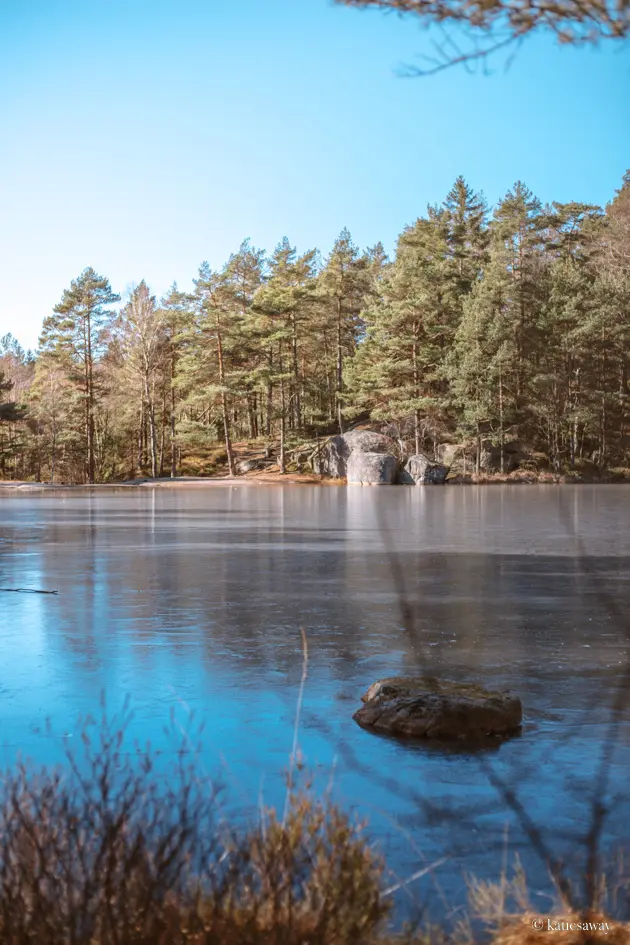
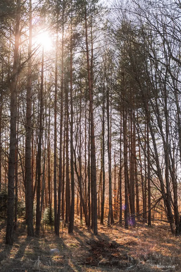
This is my personal favourite section of the Bohusleden. It begins in Angered and heads through Vättlefjäll Nature Reserve towards Kungälv. This is such a beautiful area with multiple lakes, BBQ spots and wind shelter you can spend the night in. This section of the hike is 17km and takes around 5 – 6 hours to complete. You can take the tram to Angered and the bus from Kungälv back to Gothenburg after the hike.
Gotaleden
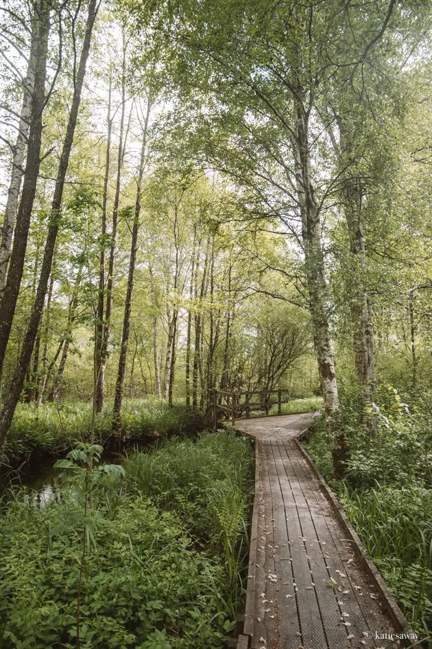
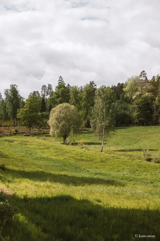
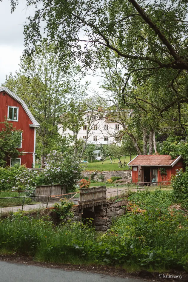
The Gotaleden is a beautiful hike that goes from the centre of Gothenburg out to Alingsås. It passes through Skatås, Kåsjön, through Floda and past Nääs before reaching Alingsås. This hike is very much a mix of nature and small towns, with lots of little cafes along the way to stop at for lunch. The best part of this hiking trail is that it is easy to split up into different sections as the trail heads often start by train stations with direct lines to Gothenburg!
The hiking trail closest to Gotheburg begins at Kungsportsplatsen and takes you through the city out to Skatås through Delsjön. This section is 6km and takes around 1.5 – 2 hours to complete. It is less of a nature hike and more of a nice walk. What I love about this section of the hike is seeing how close the city is to the nature.
If you want something a bit more natural, I recommend either starting at another part of the trail. Section 2 – Skatås to Kåsjön – is the closest to the city but is very much more a nature hike. Otherwise, my favourite sections are 6 and 7, from Tollered to Lerum. This heads past Floda and Nääs Fabriker, past the lakes and through beautiful forests.
For more tips, check out my full guide to hiking the Gotaleden.
Skärgårdsleden / Kuststigen
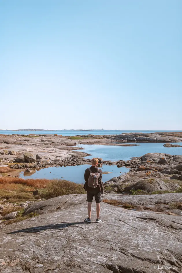
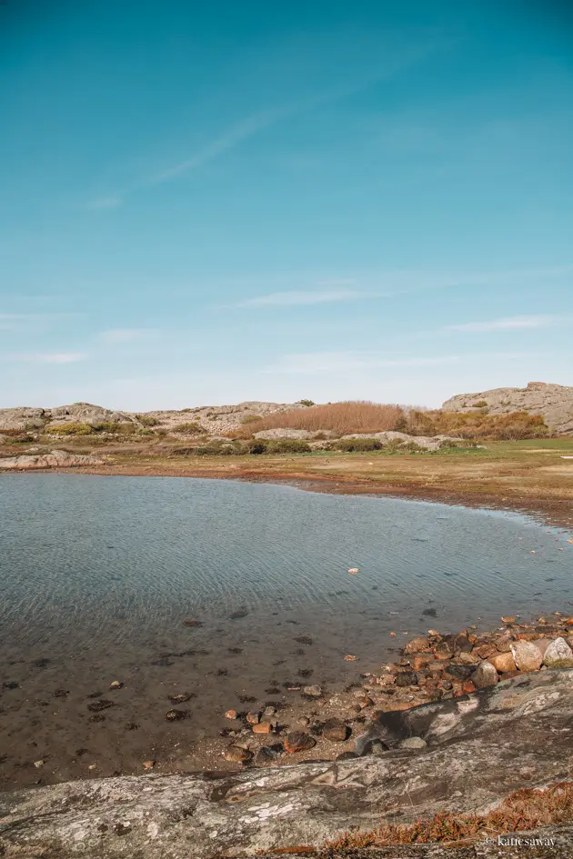
The Kuststigen is one of my favourite walking trails along the west coast of Sweden. The sections of the path mostly follow the water on islands such as Orust and Sotenäs. The Skärgårdsleden is a part of the Kuststigen that runs around the islands in Gothenburg’s Northern archipelago; Hönö, Ockerö, Fötö, and Hälsö. This is the perfect hiking trail for anyone wanting to be by the water but not too far out of the city.
The trail is split into three sections that in total take around 8 – 9 hours to complete. You can also split the trail up and hike it over multiple days. Perfect for a day hike is section 1 and 2. If you start at Hönö ferry terminal you can hike south to Fötö, around the island and loop back through Klåvå in Hönö.
This is the perfect hike close to Gothenburg on a summers day when you want to split up the walk with dips in the ocean. If you don’t bring food with you, I recommend aiming to reach Klåva around lunch time and eating at one of the great restaurants there!
If you want to read more about the Skärgårdsleden you can find the trail map here.
If you want to find more routes of the Kuststigen, two I recommend are from sections 6 and 7 across Sotenäs and the round trail on Bohus-Malmön.

Pilgrimsleden Göta Älv
The Pilgrimsleden follows the path that the pilgrims once took, heading north out of Gothenburg along the Göta Älv. The hiking trail begins at Masthugget in central Gothenburg and ends in Vänersborg. It is a total of 143km long and split into 10 different sections. This is another hike that is great to split up into several different day trips, with the seconds along the canal regularly passing different train stations with direct lines back to Gothenburg.
The highlights of this trail are the beautiful views over the canal, the medieval ruins and beautiful nature.
You can find details about each section of the Pilgrimsleden here.
Shorter Gothenburg Hikes
Delsjön
Delsjön is a very popular Gothenburg hiking area due to its different trails and proximity to the city centre. There are 5 main trails in Delsjön with different lengths – from 2.5km to 10km. Additionally, a section of the Bohusleden runs through here. This is probably the most beautiful trail in Delsjön as it runs past the lake and up through the forest. You can find a map with all the different hiking trails here.
The best thing about hiking in Delsjön is how close it is the Gothenburg city centre. You can take both the tram and bus to several different areas in the area an. If you feel like something different, you can also hike canoes in Delsjön and explore from the water. This is the perfect nature activity in the summer (and perfect when combined with a hike).
Stora Amundön
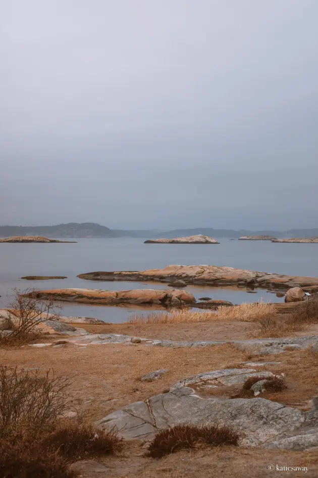
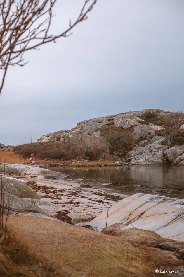
Stora Amundön is an island on the coast to the south of Gothenburg, very close to Hovås. You can reach the island by bus from Gothenburg and it makes for the perfect hiking day trip. Here you will find a 4.5km walk that runs around the island. Part of the trail is a forest track, and part is a simple path that passes through beautiful, rocky beaches and picnic areas. The island is a special nature area which means parts of it are closed off between the 1st March and 31st July so keep this in mind when planning your trip!
Sandsjöbacka
Sandsjöbacka Nature Reserve in Mölndal. It has a very varied landscape with lakes, forest and mountains along the different hiking paths. There are 15 main hiking trails here, from 1.6 km to 6.9 km long. They start at different areas of the nature reserve so make sure to plan your trip accordingly! While I haven’t hiked all the trails, I have done the blue path from Hagryd Dala which takes you out to a windshelter which is a perfect stop for lunch. Otherwise, the red path from Långås is beautiful as it circles round two small lakes.
You can find a good map of the different hikes here.
Änggårdsbergen
Änggårdsbergen is one of the most popular nature reserves in Gothenburg for hiking due to it being so centrally located. There are quite a few different trails here that pass by lakes and rocky viewpoints. There are also several different entrances to the forest, one being at the back of the Gothenburg Botanical Gardens. A fun walk can be to follow the trail from here to Högsbo. You can find the trail map here!
Björkö
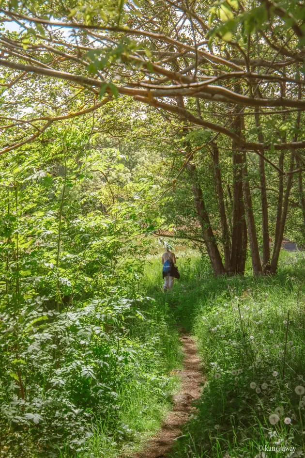
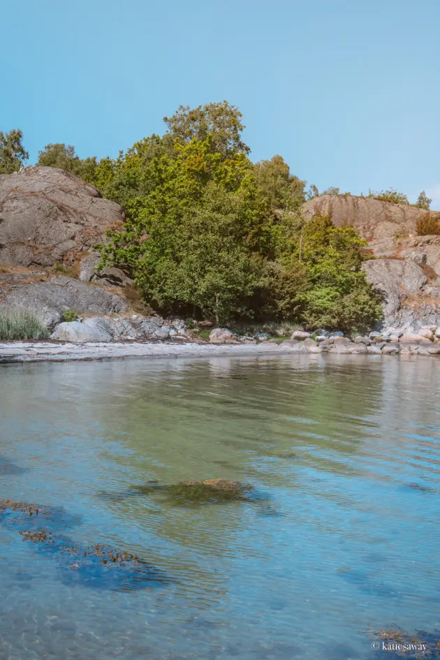
Björkö is one of the islands in Gothenburg’s Northern Archipelago. It is known for its beautiful nature, with 7 different hikes that run around the north and east of the island. This is the perfect place to visit for anyone looking for some quiet nature mixed with beautiful archipelago views and picturesque swimming bays.
The island is best reached by either driving or catching the bus to Lilla Varholmen. From here you can take the 5-minute ferry over to Björkö and start your hike immediately.
There are 7 trails in total ranging from 1.6 to 11km. If you are looking for something shorter, try the 5km blue trail which runs around the nature in the north, or the 4km white trail that loops around the south. If you want something longer, follow the 11km yellow trails around the inlets and forests in the north of Björkö.
Svartedalen
Svartedalen is one of the larger nature reserves to the North of Gothenburg perfect for hiking. There are so many different trails here to explore (including parts of the Bohuseleden). As a base, it can be good to begin your hiking adventure at Bottenstugan where you will find several different, shorter hiking trails fire pits along the route. Otherwise, head to Gårdsjön for a beautiful 4.2km loop trail that circles the lake.
Svartedalen is best accessed with a car so if you are planning to go hiking here from Gothenburg make sure to keep that in mind. If you do plan on hiking here often, I recommend buying the Svartedalen Vandringskarta (map) that has all the trails, parking lots and wind shelters mapped out on it. It’s been so helpful for our hiking trips in the area (plus great for marking out secret mushroom spots). You can buy this map at the Gothenburg tourism office and some book shops.
Vrångö
Vrångö island is the southernmost island in the Gothenburg Archipelago. It is a beautiful place, with sandy beaches and leafy woodland. There are three different hikes here than can be done separately or together. These are the Södra slingan, the Norra slingan and the Tärnstigen. If you want more of a nature walk, I would suggest the Södra Sligan, however, it is definitely possible to do all three walks on one day!
Make sure to read my guide if you want more tips for visiting Vrångö island!
Styrsö
Styrsö is another of the islands in Gothenburg’s southern archipelago. There are three hiking paths here, with the lengths 2.6 km, 4.3 km and 5.2 km. These walks are beautiful as they really show you the different sides of Styrsö – from holiday village to forests to sandy beaches. It’s possible to do these three walks on the same day. The best way to reach Styrsö is to take the ferry from Saltholmen. The ferry trip takes around 20 minutes.
If you want more tips for the best restaurants, swimming spots, and more advice on hikes you can find them on my Styrsö island guide.
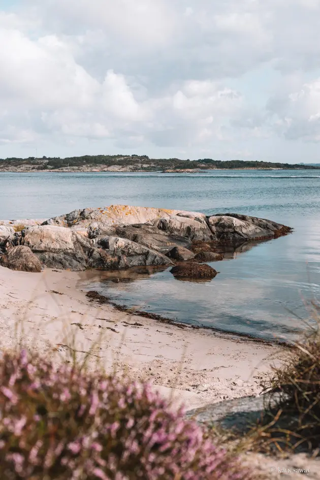
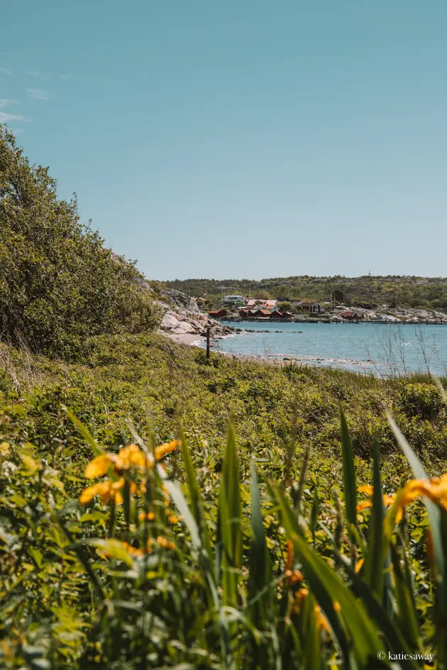
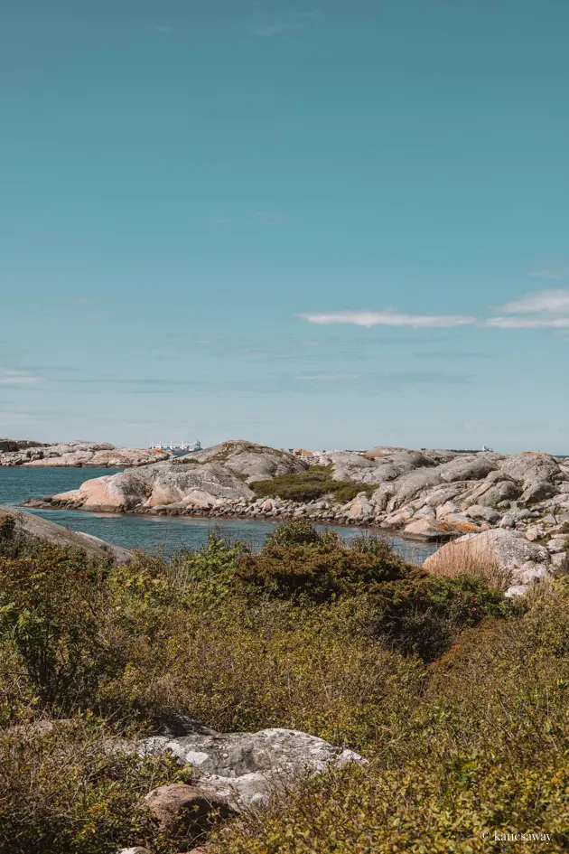
Hiking trails outside of Gothenburg
If you feel like a bit of a day trip from Gothenburg, then here are a few different places outside of the city that are perfect for hiking! Many of these coastal areas are part of the Kuststigen.
Dyrön
Dyrön is an island out in the archipelago north of Gothenburg. It is the perfect destination for hikers, with a trail that runs around the whole island. From here, you get amazing views of the archipelago and islands such as Åstol. If you want a little extra at the end of your hiking trip, you can hire the sauna and take a dip in the sea.
The best way to reach Dyrön is by ferry from either Rönnäng Brygga on Tjörn or Rökan Bryggan in Kungälv.
If you want to know more, you can read my complete guide to Dyrön island!
Marstrand
Marstrand is one of the most popular summer islands, with lots of restaurants, swimming spots, and a medieval fortress to explore. The island is also home to an amazing hiking trail that passes through the rocky landscape towards the lighthouse at the end of the island. The hike is around 5km and takes about 1 hour of walking. The best way to get there is to take the bus to Marstrand’s ferry terminal from Gothenburg central station and then catch the ferry over the water. The ferry is short and takes only a few minutes.
If you want to know more tips for visiting, read my guide to Marstrand!
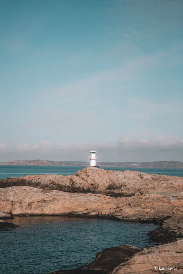

Skaftö (Gullholmen to Fiskebäckskil)
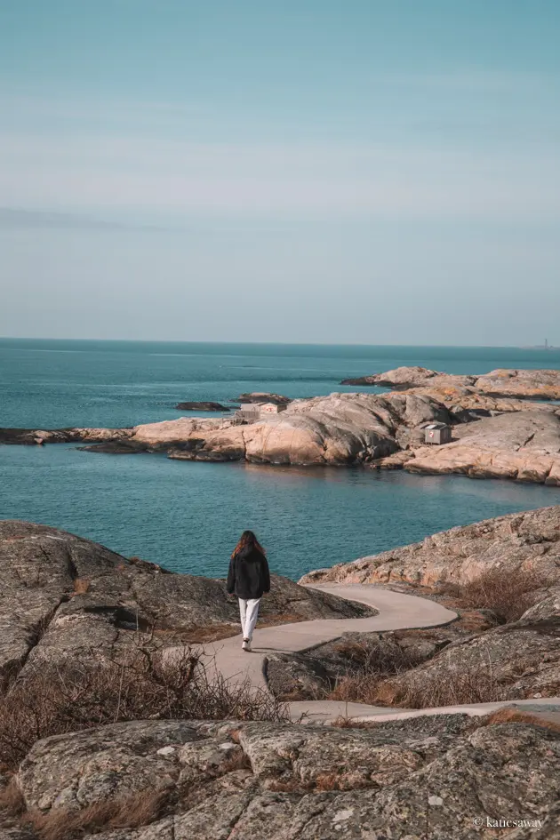
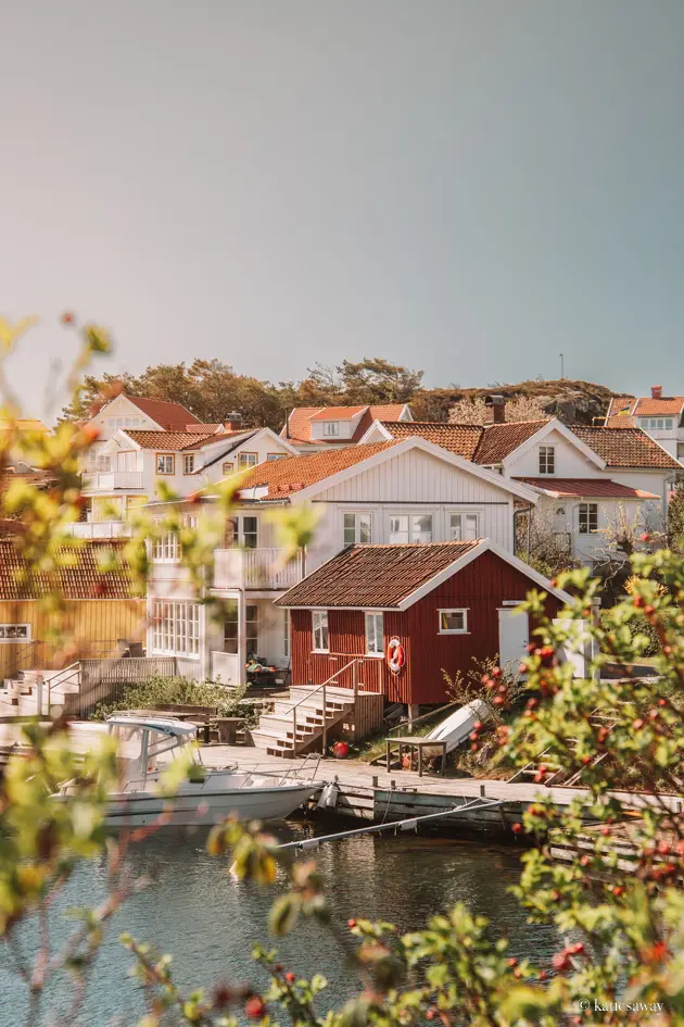
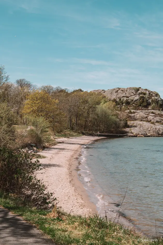
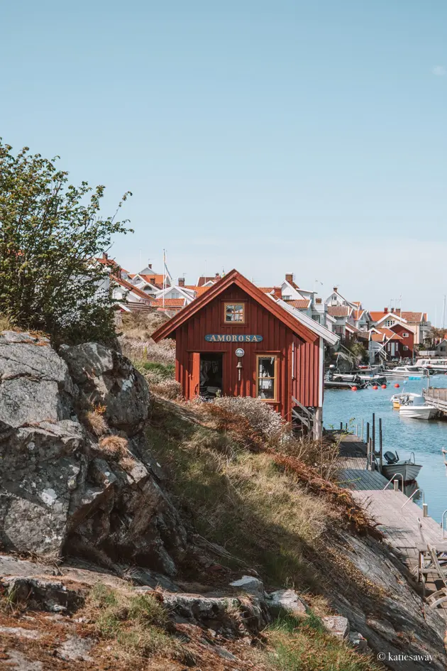
This section of the Kuststigen is my personal favourite, starting in the beautiful village of Gullholmen and following the coast round to Fiskebäckskil. The walk isn’t too long at 6km and only takes 2 – 2.5 hours to hike. Fiskebäckskil is such a pretty little village though, I’d recommend spending a while wondering around there too before catching the bus back to Gullholmen. You can find more information of this walk here!
The Best Hiking Trails in Gothenburg
Here was a guide to just some of the beautiful hiking trails close to Gothenburg! If you do enjoy hiking, I really recommend downloading the app Naturkartan. Here you can find loads of different marked walking trails with tips of where to camp, where there are viewpoints, and where you can find wind shelters.
Make sure to check out my other Gothenburg guides if you want more tips for places to visit! Otherwise, here you can find all my guides for travel in Sweden!
